Sunday, May 4, 2008

2008.14.107 - Coal Island

Yes, the rumours are true - finally we got some sunny weather here on the coast. And on the weekend, no less. (I even sun-burned my nose.)
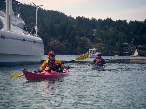
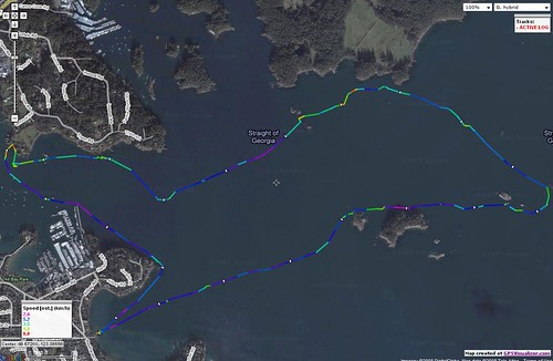
So on this sunny day, Louise, Alison, Richard and myself headed out to do something that none of us had ever done: circumnavigate Coal Island. As Richard noted, it was the blind leading the blind....
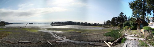
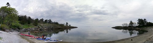
Sidney Launch

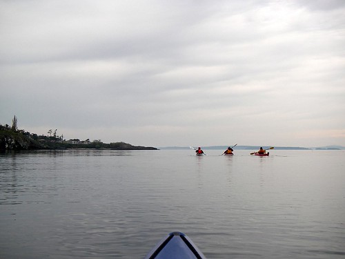
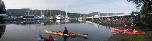
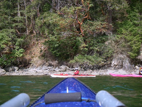
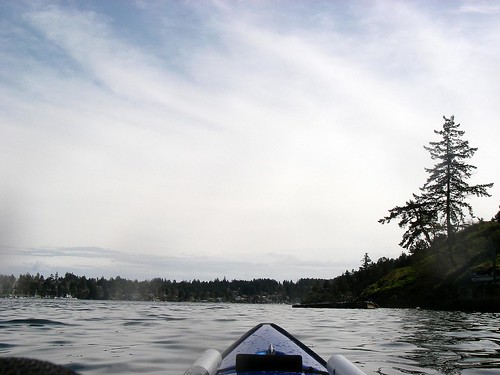
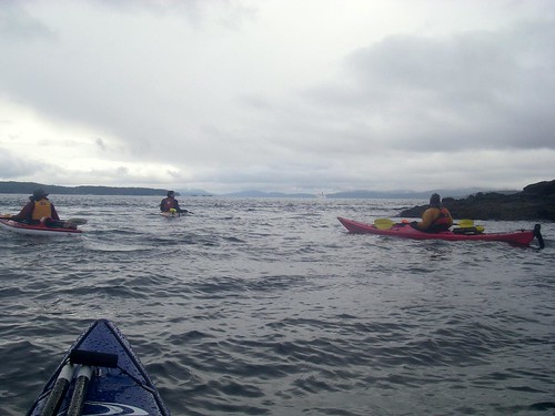
As you can see, the tide was really low, which made for a slog in the mud to get to the water and get going, but once we headed out, the water was flat and calm and the weather gods continued to smile on us. We moved out of the bay, and crossed the entrance to the harbour north of where we launched. After that we faced two small channels to cross before getting to Coal Island, and we decided to explore the first channel instead of making a direct crossing. This was a good choice as we paddled around some beautiful islands and shoreline before crossing over to Coal.
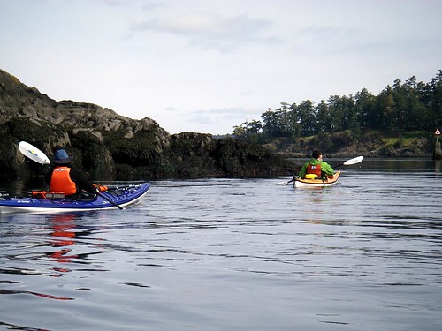
2008-05-04 Coal Island 338

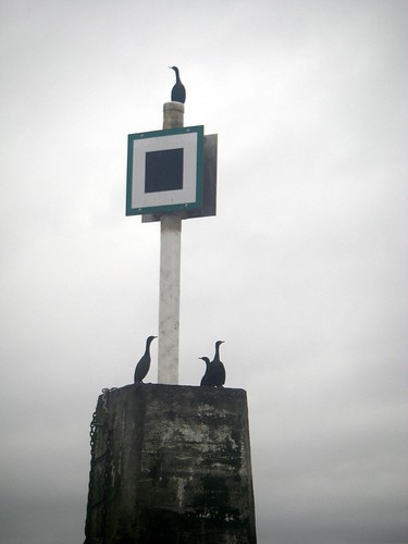
Everyone was enjoying the lovely weather - even this seagull on the pole....
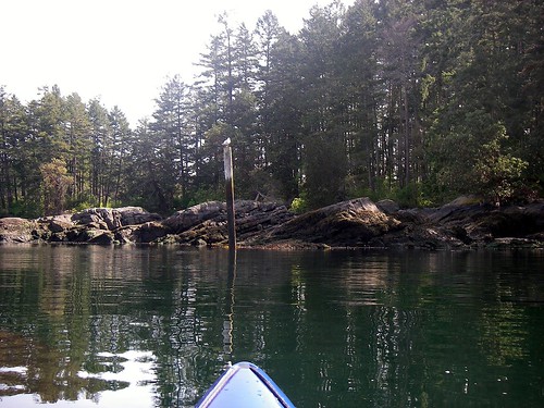
2008-05-04 Coal Island 057

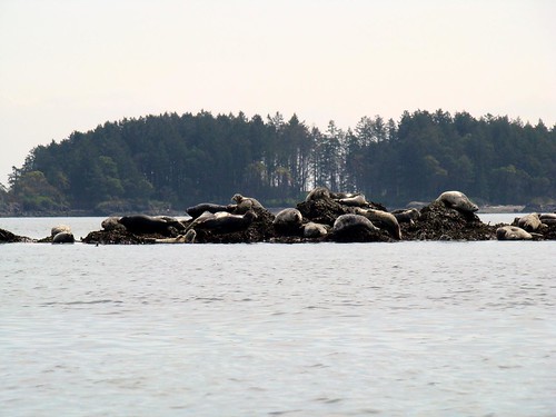
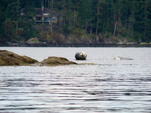
...and these seals on a rock. We also saw what we think was an otter or a beaver climb up onto the island from the water.
We figured that we should have been facing a flooding current -- that's what the current charts indicated -- but here it was on the ebb. In fact, the currents always seemed to be going in a direction we weren't expecting them to. It was not such an issue on a calm like today, but something to remember if we're here on days that are a little rougher.
2008-05-04 Coal Island 384

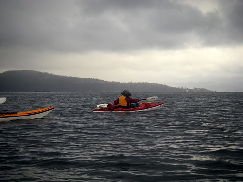
We made it to the far tip of Coal Island when something came across in front of us. Suddenly Richard's kayak didn't seem so big anymore.
Since the big ferries from Vancouver travel along the north side Coal Island on their approach to the Swartz Bay Terminal, we knew that we had about an hour to make our way across that side of the island without having to worry about the next one.
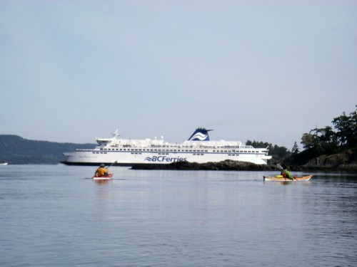
2008-05-04 Coal Island 339

The north side of Coal was beautiful, the water was clear. We saw some eagles fly by here, but no pictures, alas.
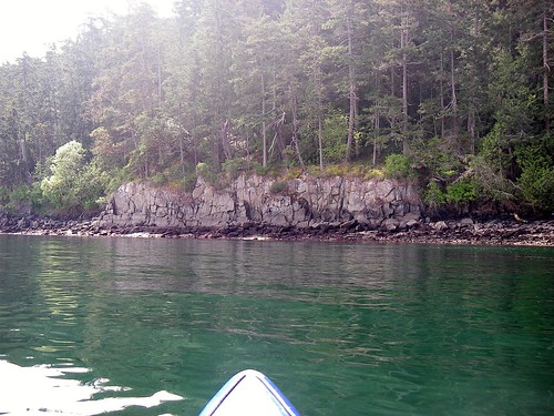
2008-05-04 Coal Island 150
2008-05-04 Coal Island 347

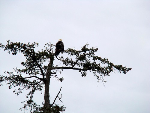
As we rounded the next point and started back, we spotted an eagle landing in a tree. I paddled in for a closer look and saw that it was perched in a nest. There were actually two eagles in there (I could only ever got one in a shot), and it sounded like some baby eagles were in the nest, too.
2008-05-04 Coal Island 392

Then we saw a number of strange rock formations. It looked like someone had either built rock walls extending in to the ocean, or someone had dug back from the shore to expose these walls. It could very well have been a natural formation, but the "walls" and the "cuts" just seemed a bit too regular to be natural. This particular wall has had a bite taken out of it.

2008-05-04 Coal Island 358

We decided to take the scenic route back and visit The Little Group....
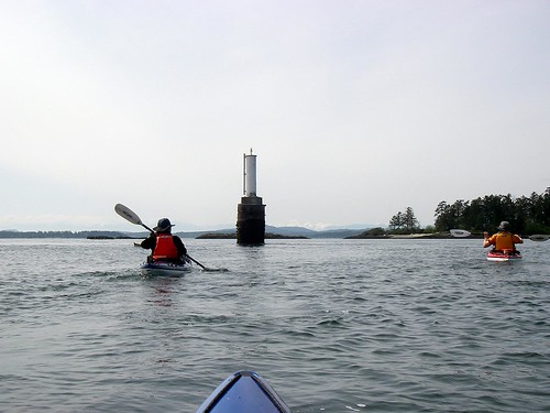
2008-05-04 Coal Island 212

...where the seals were hanging out.
2008-05-04 Coal Island 397
What a great paddle!


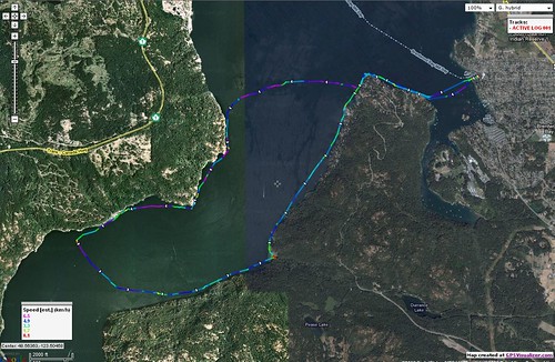
Trip length: 10.6 km.
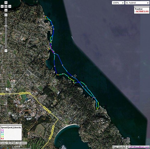
My GPS ran out of batteries....here's Richard's GPS track.
My pictures are here.

Sunday, April 27, 2008

2008.13.106 - Paddling Come Rain or, er, Rain

We knew that the rain was coming. A front was going to pass through sometime around noon and bring with it some showers, so we weren't sure how long a paddle we were going to get before the rain. But we decided to go for it. We're kayakers, after all -- we dress to get wet.
So under cloudy skies, we put in at Telegraph Bay. It was Louise, Alison, Paula and myself today.
Telegraph Bay

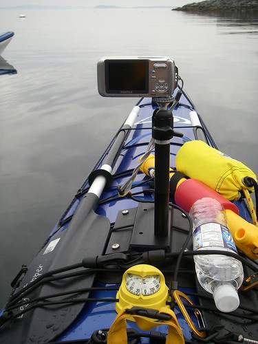
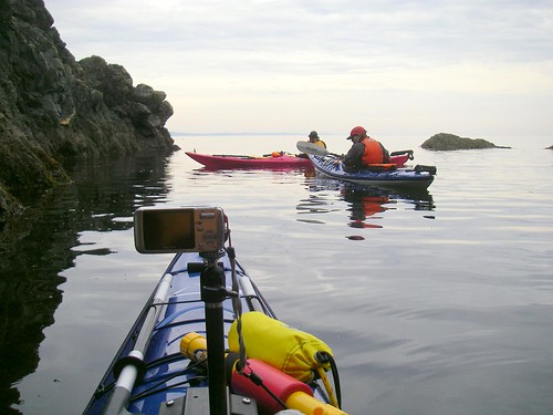
I'm using a new piece of gear for my deck camera. I've been using a Sticky Pod suction cup to mount my deck cam onto my boat and it mostly works pretty well, but it does have its drawbacks. It's really meant for a flat surface and of course kayaks aren't flat, so you've really got to find the sweet spot on the deck where it will stick, otherwise your camera goes swimming. Also, after a few hours the Sticky Pad does have a tendency to pop off. So I was thinking what I needed was something that was curved, yet has a flat top to mount a camera on. As it happened, I was surfing the online MEC catalogue and saw they had these things on clearance. This is actually the attaching stand for a kayak sail, but it works great as a camera mount, and all the hardware from the Sticky Pod fits it perfectly. There have been some rough water days that I haven't bothered with the deck camera, because I knew it was going to get swept off, but this should be nice and steady on those days.
Picture 323

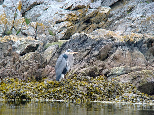
Before we even got in the boats and started paddling, I was taking pictures. An otter swam by, and although I tried I never got a good shot of him. But there was a heron who was watching us launch.
Picture 360

Soon we were off and on our way. Every time we paddle here, we pass this tree and there's always an eagle in it. Today was no exception.
Picture 362

We were supposed to be paddling against a slight ebbing current, and if there was a current, it was very slight indeed. The water was calm and flat, and the rain seemed to be holding off. We proceeded west towards Mount Douglas Park.
Picture 111

We paddled into a small cove behind Queen Alexandria Hospital. We've never poked around in it before, but today seemed like a good day to noodle between the rocks. It was a good thing we went in, because we saw this heron doing a little fishing.
Picture 389
Picture 379

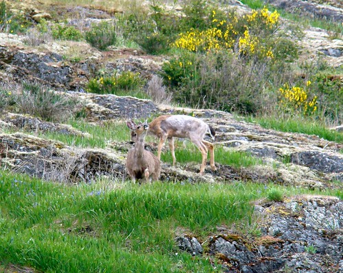
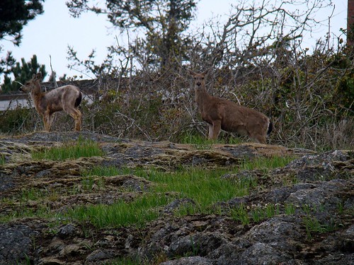
We continued on under the gaze of some deer. There were three of them looking down on us as they calmly enjoyed Sunday brunch.
Picture 397

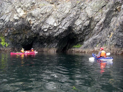
After we passed the deer, we played in the cave.
Picture 336

Well, we call it a cave, but really it's a very small rocky cove. But it's a fun little place to poke around in.
Picture 345

We headed back, and again passed under the watchful eyes of the deer.
Picture 407

Finally, the rain hit. We also caught a couple of wakes to play in on the way back to end a great paddle.
Picture 283

Telegraph Bay
Trip length: 8.5 km

Sunday, April 13, 2008

2008.12.105 - Breaking New Ground

We were dubious about a paddle as the morning broke. Depsite a total absence of rain in the forecast for today, we were encountering drizzle as we loaded up and headed out to Brentwood Bay. But the drizzle soon stopped, and it looked like we were going to have a great paddle day.
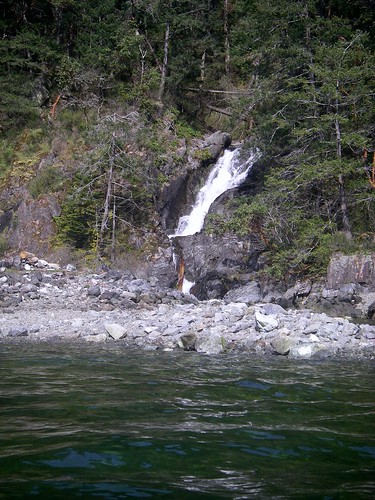
It was Louise, Richard, Paula, Alison and myself today. The plan was to cross Saanich Inlet and see how far down the Inlet we could get. About a decade ago, Louise took a kayaking course and they paddled down to a waterfall where they put in and had a break. Today we're going to seek out this mythical waterfall.
Brentwood Bay Launch

We headed out and crossed the Inlet without incident. Alison and Paula lead the way...
IMGP2122

...but their path crossed mine, and I had them in my sights. In naval combat, this is called Crossing the T.
Ready...aim....
Ready...Aim...

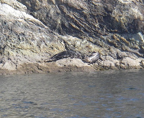
Actually, the crossing wasn't totally event-free. We found ourselves being tailed by over a dozen seals. This has happened before when we've crossed over south of Bamberton. I tried to get some pictures of them, but none turned out. But we did see this fellow sunning himself as we paddled down the shore.
DSC00764

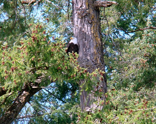
An eagle relaxed in a tree.
DSC00776

While Alison and I were distracted by the eagle, the rest of the group drifted by the next point. As we paddled slowly to catch up, Richard looked like he was doing a "shush" motion and Paula was pointing at the far side of the point. We realized that something was there and as we drifted around, there were two baby seals on the rock.
We were probably closer than we should have been, but we just drifted slowly by and tried not to disturb them too much.
Baby Seals

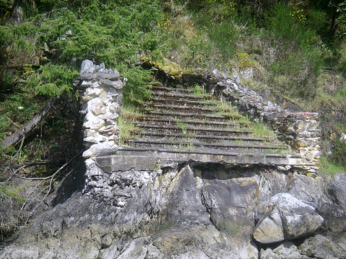
Then we came upon the ruins of Minus Tirith.
Okay, maybe not that exactly, but there was a stone staircase that went from the shoreline to nowhere.
IMGP2154

We never made it into Finlayson Arm. We ended up just going down a part called Squally Reach. That's where we found Louise's waterfall.
IMGP2162

There was a small beach there to put in, but we decided to keep on paddling. We crossed, then put in for a rest and a snack at McKenzie Bight.
Snacks at McKenzie Bight

Then we started the final leg back to Brentwood.
IMGP1699

We had a great time and were out on the water for about four and a half hours. What a fun paddle!
IMGP2178

Brentwood Bay
Trip length: 15.6 km

My pictures are here.
Sunday, March 30, 2008

2008.11.104 - The Little Group

Unlike yesterday when the weather played out almost exactly as the weatherman predicted, today the weatherman's prognostications were less than stellar. It was supposed to be mostly clear this morning, sunny in fact. But as we arrived at our launch point in Roberts Bay in Sidney, it was lightly raining and clearly not, er, clear.


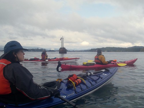
But we kayakers are hardy souls, so we headed out with a wary eye on the uncertain weather. It was Richard, Alison, Paula, Louise and myself today.


We passed by this marker that was festooned with cormorants. One provided a little comedy relief as he must have thought that I was venturing too close. He jumped off the marker and landed in the water to escape, but he was paying so much attention to me that he didn't notice that he had in landed in the water dead center in the middle of five kayaks. After a moment he suddenly realized that he had indeed jumped from the frying pan and into the fire, and he took off quickly!
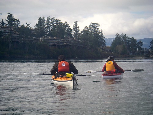


We headed out towards what we call amongst ourselves the Sidney Islands, but are really called The Little Group. It's a small archipelago that can be used as a stepping stone to the islands that are further out. We had been thinking about going around Coal Island -- the currents weren't particularly strong today -- but we really weren't too sure about the weather, so we thought it best to save that for another day.


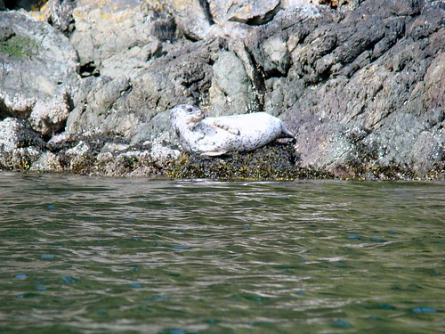
These two guys didn't mind the weather...


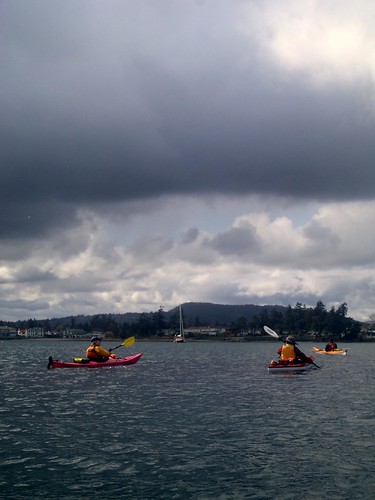
...but it was sure concerning us. It didn't seem to be getting any worse, but it wasn't getting any better, either. We were getting some light squalls and dark clouds passing us. At least we didn't get much in the way of wind.


After we explored The Little Group a bit, we decided to cross to Coal Island. The weather was clearing a bit now, but there was some *ahem* spirited discussion before we made the crossing. You can see that it's not terribly warm out. There's snow in them thar hills.


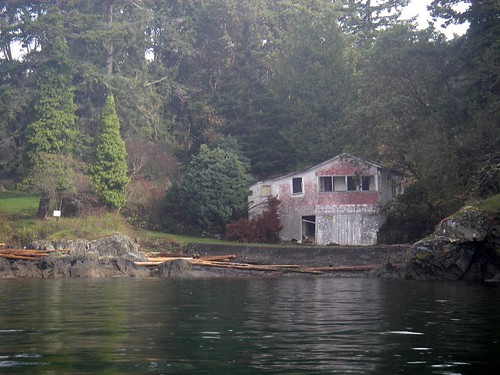
The crossing to Coal went well and we paddled along the shore for a bit, past this old boathouse.


We crossed back to the mainland and checked out a harbour.


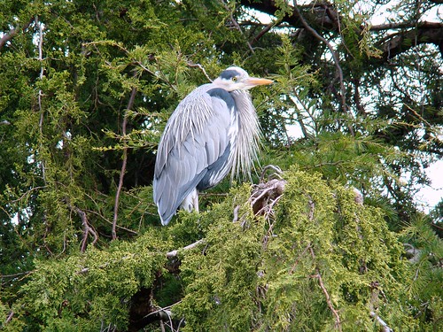
A heron posed for me....


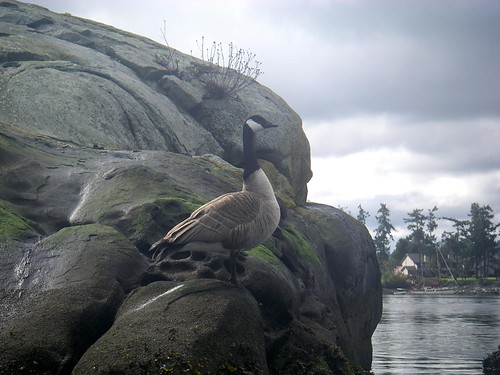
...and a goose, too.


These homes are on pilings. They may survive the rise of the oceans due to climate change, but I sure wouldn't want to be around them when the Big Earthquake hits.


A blustery but fun day on the water.


Trip length: 10.7 km
My photo's are here.