Friday, December 31, 2010

2010 Paddling Stats

chart1

The 2010 weather stats break down like this:
36% of our paddles were on sunny days;
17% were on cloudy days;
17% were on rainy/stormy days;
and 10% were canceled due to bad weather

As we can see, sunny days were down, and thus cloudy and stormy paddling days were up. Or was it the other way around? Either way, the weather took a bit of a dip this year, let's hope it's better in 2011.
Happy paddlin'!

Sunday, November 28, 2010

2010.29.198 - Ice Ice Baby

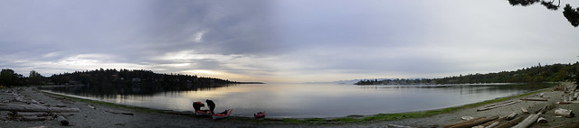
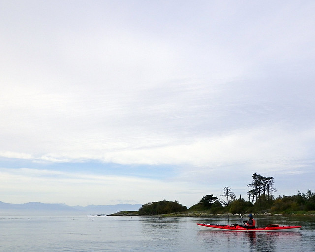
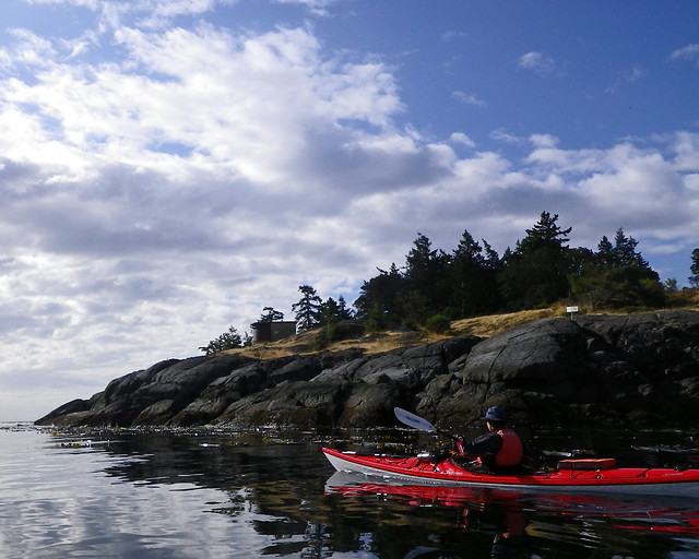
Yeah, it's been a while since we hit the water, not counting our pool session a couple of weeks ago. I blame the weather. The weather was actually quite nice in October, milder and drier than normal, at least anecdotally. But we actually believed the weatherman when he said that most paddling days would have bad weather. And that was a mistake, of course, because generally the weather was good when the weatherman was calling for bad, but we, trusting souls that we are, had already made other plans for those days that were forecast to have sucky weather. You see where this is going, right?
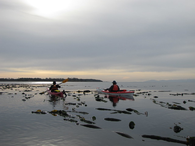
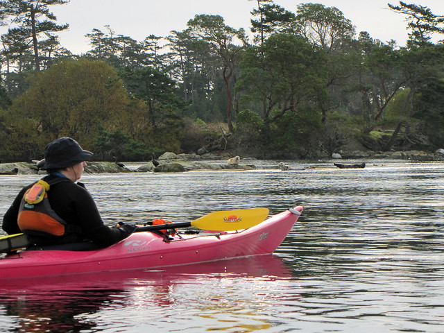
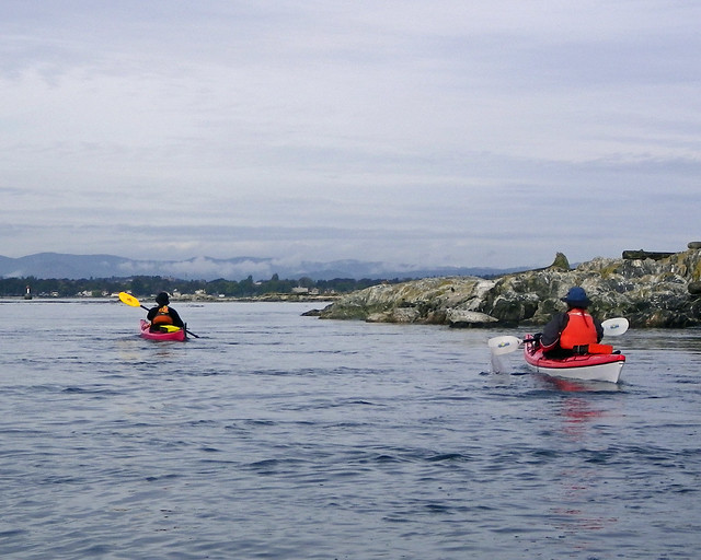
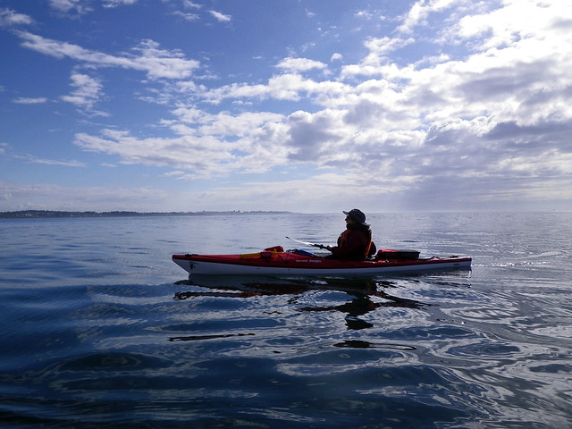
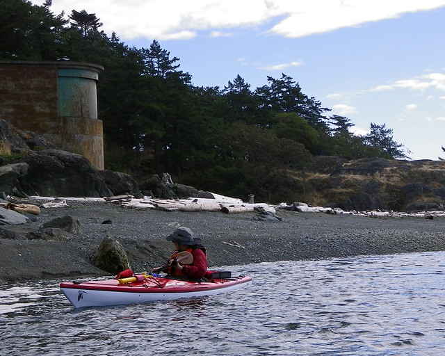
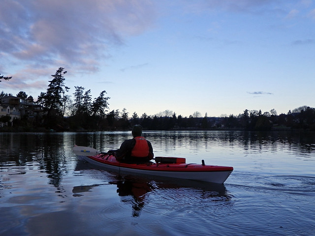
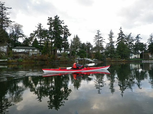
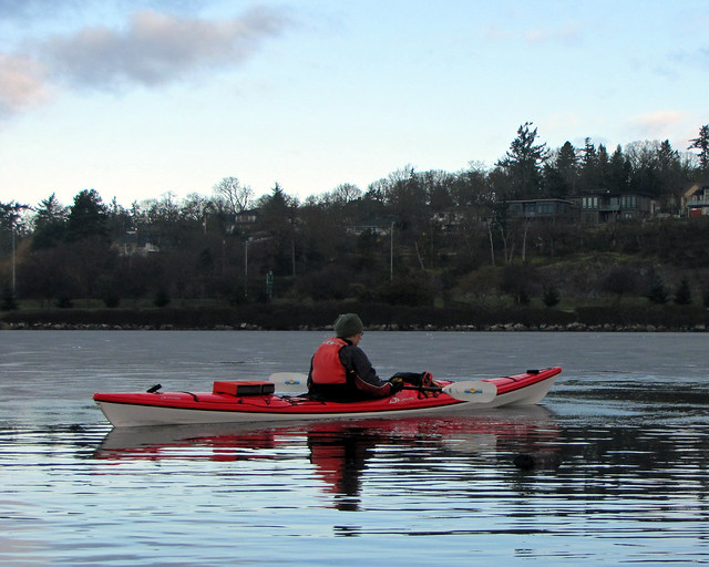
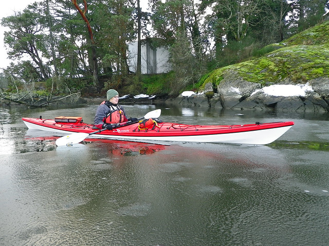
This past week brought us our first real dose of winter this year, three snowstorms in five days. The snow might be mostly gone now, but it was still darn cold this morning. Despite this, Louise and I rolled our kayaks down the hill to go for a paddle on The Gorge.
FIMGP0571

It was cool, maybe about 1 degree when we started out, but it was forecast to be a sunny day and we were sure hoping the sun was going to poke through the clouds quickly and start warming things up. There was still a bit of snow left on the ground from the past week's snowfalls.
FIMGP0573

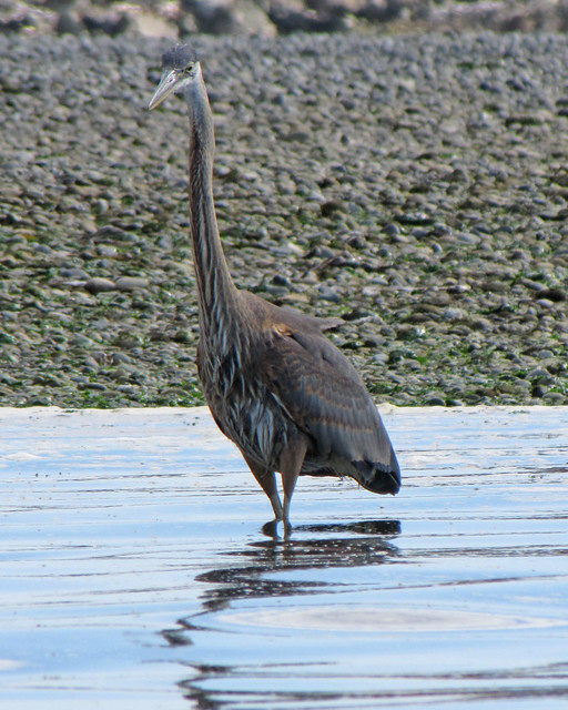
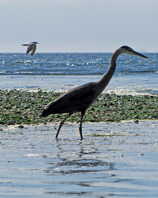
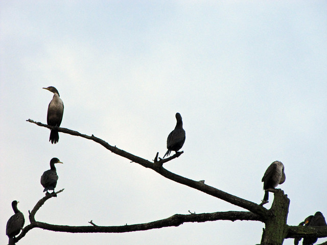
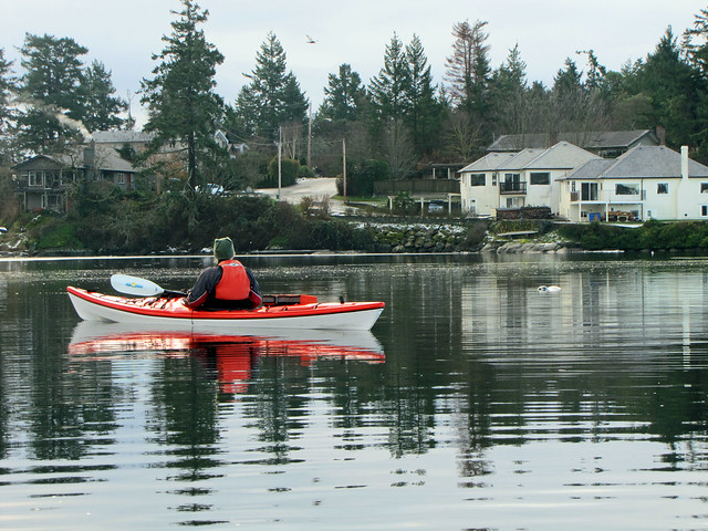
We paddled over to Gorge-Kinsmen Park hoping to spot the two swans that have been hanging around there the last few days, but they weren't there this morning. We were starting to wonder if all we were going to see was a few cormorants up a tree.
IMG_1000
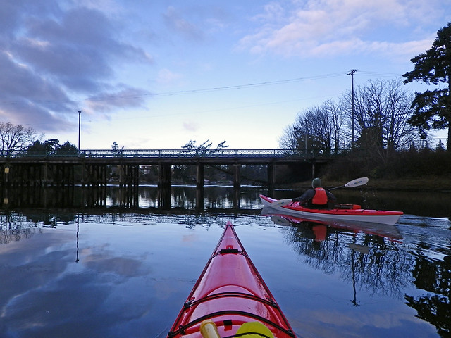
But after we passed under the bridge and into Portage Inlet....
FIMGP0574
...and passed the phalanx of geese....
fIMGP0577
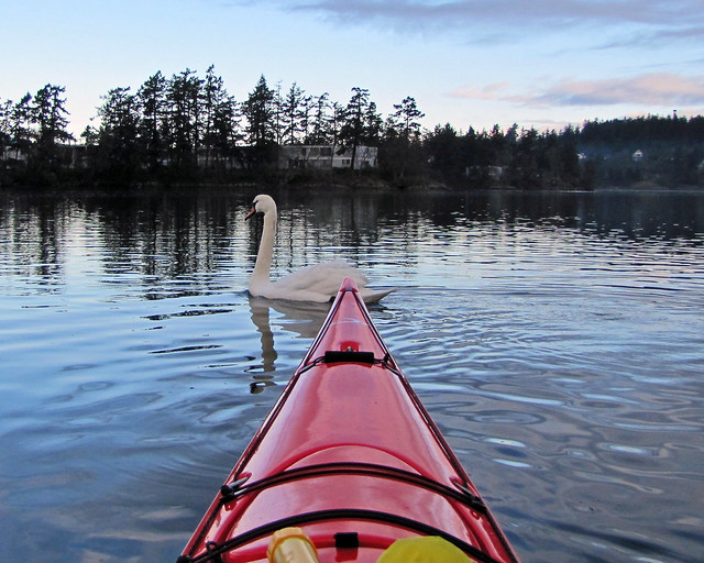
...we spotted the swans. Or rather, they spotted us and headed right for us.
IMGP0194
IMG_1009 copy
IMG_1017
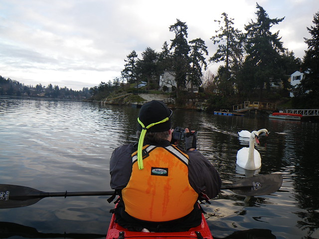
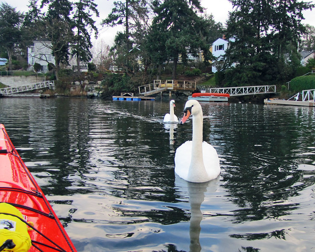
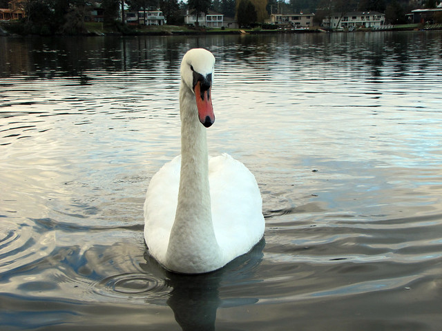
They showed no fear of us. Clearly this pair have had plenty of contact with humans.
FIMGP0578
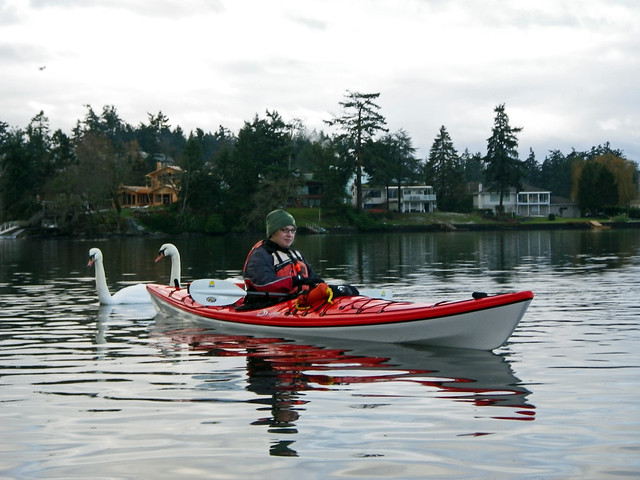
Finally after a few minutes of swimming around us, they went on their way....
IMG_1023 copy
...and we went on ours.

I was hoping that we'd be able to get into the Western arm of Portage Inlet and up to the tunnel on Craigflower Creek, but as we approached the entrance to the arm Louise and I both had the sensation that paddling suddenly became a little harder as if the water had become thicker. And as I looked ahead I could see that the water had not only become thick, it had become solid. The way was blocked by ice.
IMG_1025 copy
We'd encountered ice here once before, but that was really just a thin layer on the surface. This time, we were dealing with some solid ice, maybe a half inch thick or more.
IMGP0256
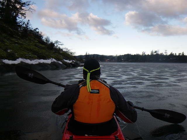
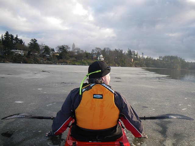
At first we thought we could break the ice but we were finding spots that were so thick that the kayaks weren't sinking through it, nor could we break it with our paddles. Flipping over in this could really ruin your day. We tried sneaking around through the thin ice near shore, but that proved to be futile as there wasn't nearly enough of it for us to pass. The whole western arm was frozen up as well as the northern shore, so we decided to head east and follow the outline of the ice.
Which didn't mean that we didn't occasionally try to be an ice breaker....
IMGP0378
FIMGP0584

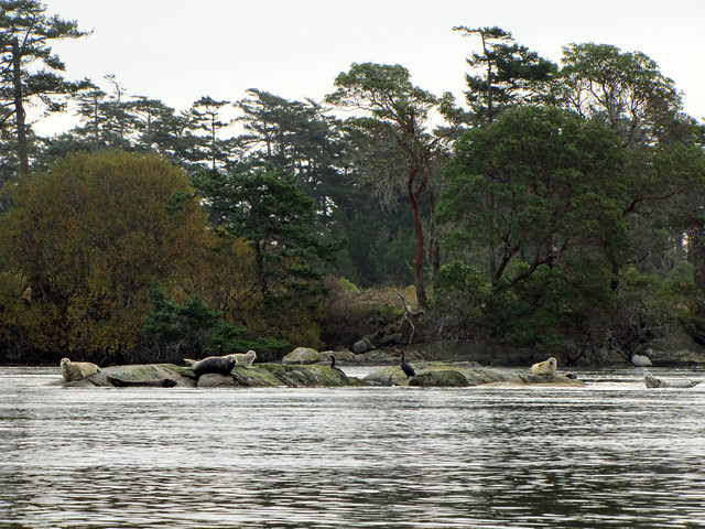
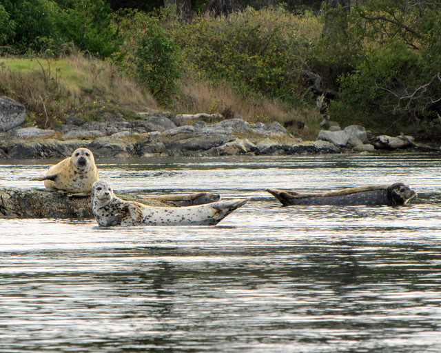
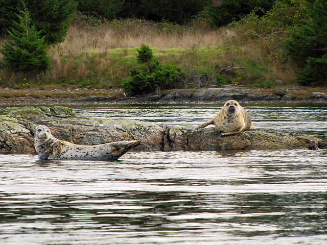
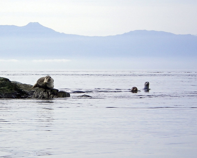
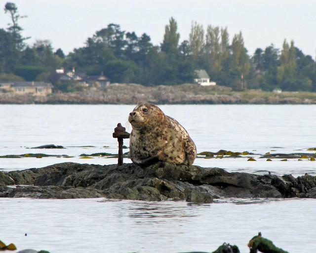
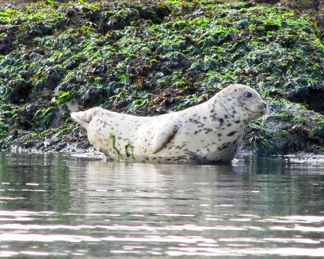
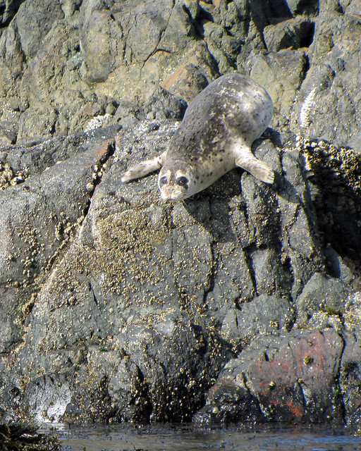
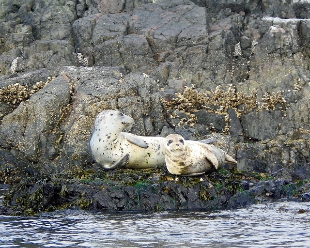
As we paddled along three or four seals kept up with us and checked us out. Here's one sizing up Louise....
IMG_1032 copy
...and I was so busy taking that picture of Louise and the seal that I didn't notice until I checked my pictures later that another seal that had popped up right in front of me.
IMGP0344

As we followed the ice, we noticed a strange line in the water. You can see it just to the left of my kayak.
fIMGP0594
It followed the contours of the ice. Was it some sort of boundary layer either between temperature zones, or between salinity zones? The Gorge at one end of Portage Inlet is ocean salt water, but the Inlet is also fed by fresh water creeks, so they've got to meet somewhere.

We got as far as Colquitz Creek, then decided to head back because the sun never did come out for more than a couple of minutes and suddenly a cup of hot chocolate seemed like a really good idea.
IMGP0164

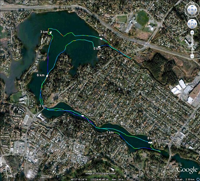
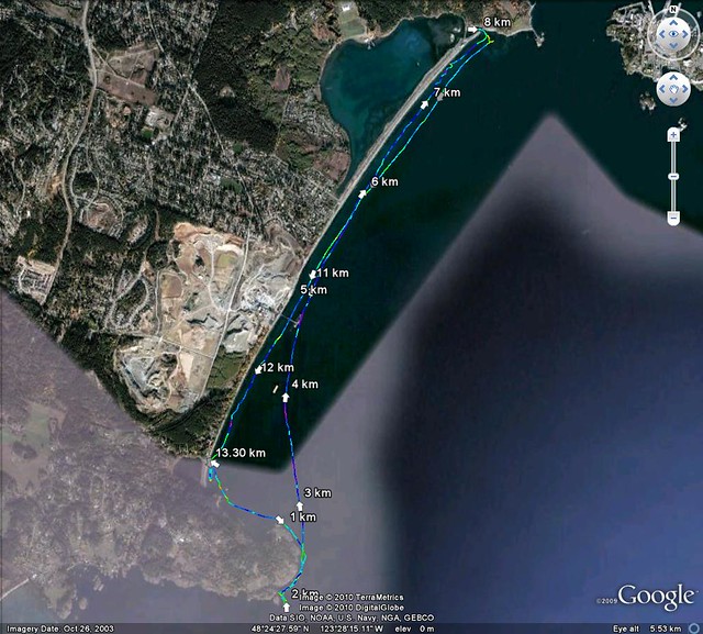
Trip Length: 8.02 km
YTD: 228.10 km
More pictures are here.
2010-11-28 The Gorge

Saturday, November 13, 2010

2010.28.197 - The Gray Zone

The Gray Zone. And no, we don't mean some sort of X-Files spin-off where Mulder finally finds out what happened to his long-lost sister while he investigates a conspiracy involving secret government organizations and an extraterrestrial invasion. Instead, we mean the gray zone in a kayak, the space between being upside right, and rightside down.
Louise and I headed to the pool for The Gray Zone course put on by the fine folks at Ocean River Sports.
2010-11-13 The Gray Zone_0002

During the course we brushed up on our edging, and our low and high braces, and our sculling (that's sculling, not Scully). Here, Louise practices her braces while the instructor stands behind her trying to flip her.
2010-11-13 The Gray Zone_0010

Then we tried the balance brace (that's when you and your kayak lie on the side and float, also called a static brace in some circles) and sculling for support, which is when you scull to support yourself in the balance brace position. This will take further practice as accomplishing this move requires you to turn body into a pretzel, and my body is more like a cupcake. Mmmmm, cupcake. Sorry, where were we?
We also practiced our sculling brace, and used it in a simulated situation when you may need to rescue someone by carrying them on the back of your kayak. I always thought that when someone was climbing onto your kayak, the proper procedure was to either whack them on the head with your paddle while laughing maniacally, or to attempt to bargain with them: "Throw me the idol, I'll throw you the tow rope! No time to argue!"
But it turns out that by using the sculling brace you can support your kayak while the rescuee scrambles onto to and off of the stern of your kayak, a technique known as the seal carry. Here's Louise trying to carry a fellow student.
2010-11-13 The Gray Zone_0012
We had a great time, but the thing we learned the most is that we need to practice more!

Tuesday, October 12, 2010

2010.27.196 - Switching to Glide

Cadboro Bay Beach
Today was a rare mid-week paddle as Louise, Paula and I met at Cadboro Bay Beach to kayak out to Chatham Island.

IMGP0517
Although somewhat overcast and rainfall warnings out for various spots along the coast, we had totally calm conditions. A higher than normal tide had come in and was going to be hanging around for most of the day.
And oddly, even though it was cloudy and hazy, the conditions allowed us the rare treat of seeing all three mainland mountain ranges (The Cascades, The Olympics, and the Coast Range), and two volcanoes. Mount Baker was plainly visible as it often is...
IMG_0625 copy
...but towards the south-east we could barely make out the cone of Mount Rainier about 200 km away.
We paddled out along Ten Mile Point...
IMGP0513 copy
...and out towards Jemmy Jones Island...
IMG_0620
...where this eagle watched over our journey.
IMG_0619 copy

As we crossed from Jemmy Jones to Chatham, a couple of Navy ships crossed our path, first the HMCS Cougar...
IMG_0627 copy
...followed a few minutes later by the HMCS Moose.
IMG_0631 copy
These are Orca-class patrol vessels generally used for training and support surveillance. (Destroy these pictures right away, just in case Homeland Security comes knocking.)

At Chatham, we cruised down a channel and quickly discovered where all the seals were hiding.
IMG_0639
Even if there isn't much current out in the open water like today, there's always some between the islands that make up the Chatham/Discovery group. We just pulled out our paddles and glided by the seals resting on the small rock outcroppings.
IMG_0637
IMG_0646 copy
IMG_0651 copy

After puttering around Chatham...
IMGP0538 copy
...we crossed to the Chain Islands....
IMGP0546 copy
...where we found more seals...
IMGP0551 copy
IMG_0659 copy
...then reluctantly headed back to shore.


Trip Length: 12.45 km
YTD: 220.08 km
More pictures are here.
2010-10-12 Chatham to Chains

Sunday, September 5, 2010

2010.26.195 - Not Quite What We Planned

Albert Head Pano

Although the sun is still shining and the days are still warm, the occasional cool autumn breeze has made its way to these shores. We weren't so sure about the wind forecast for our paddle, but as we put in it was clear that the winds were not going to be much of a factor. Scattered clouds rolled in front of the warm sun as Alison, Louise and I headed out to the point of Albert Head.
2010-09-05 Albert Head_0152 copy

Here, we found seals. Lots of seals.
2010-09-05 Albert Head_0093 copy
2010-09-05 Albert Head_0101 copy
2010-09-05 Albert Head_0155 copy
Frankly, the point was crawling with them. We considered using "The Shortcut," a small channel that cuts the end off of Albert Head and shaves a couple of minutes off the trip around the point, but as I poked my nose in to determine if the tide was high enough for it to be navigable, I disturbed about a dozen seals who quickly lurched off the rocks and into water. We decided that we'd clearly overstayed our welcome here in seal country and decided not to go around the point. Further, we discovered that Alison had never paddled in the opposite direction from Albert Head to Esquimalt Lagoon, so we decided to alter our plan and paddle the other way.
2010-09-05 Albert Head_0159

After a nice paddle along the shore, we tried to enter the lagoon itself, but the entrance was too shallow and the current too quick. Although facing forward, Alison is actually going backwards in this picture.
2010-09-05 Albert Head_0161 copy

We spent a few minutes drifting around the lagoon entrance where I snapped a couple of pictures (well, 40 actually) of this heron fishing in the surf before we headed back.
2010-09-05 Albert Head_0116 copy
2010-09-05 Albert Head_0144 copy


Trip Length: 13.30 km
YTD: 207.63 km
More pictures are here.
2010-09-05 Albert Head