Showing posts with label Island View Beach. Show all posts

Friday, May 1, 2009

2009.08.139 - Return to James Island

I'm not sure how it happpened, but in looking at my paddling records here on the blog I realized that somehow it's been almost three years since I paddled to James Island. And that's odd because it is a great place to paddle and a good stepping stone to other islands.
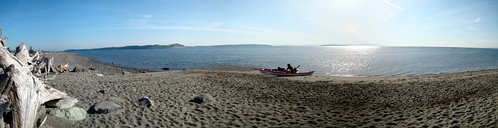
Island View Beach Pano
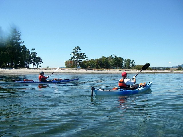
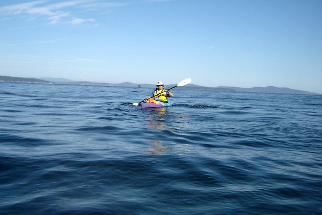
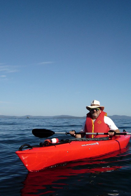
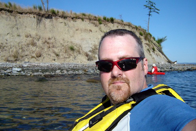
So this morning Louise and I headed to Island View Beach to launch on a warm and gorgeous spring day and rectify that oversight. A little breezier than expected, but nothing untoward. We were hoping the currents would work in our favour by taking advantage on the flood as we headed north around James Island, and ride the ebb the other way.
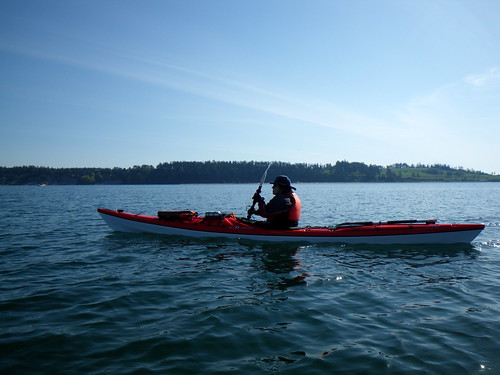
2009-05-01 James Island 065

We didn't see a lot in the way of wildlife today. We saw a few ducks, and the occasional seal popped up to check us out. Eagles were a little more plentiful, but they were feeling shy and mostly stayed out of camera range. But we did see lots of unusual things flying in the sky.
First there was this plane. We were on the water about three hours and the entire time we were out this plane was practicing approaches to Victoria Airport. We thought he was doing "touch 'n' go's" but as we paddled up the coast we realized that he wasn't even doing that -- he'd just come in for an approach, then peel off, fly a circle over us, and then he would return for another approach.
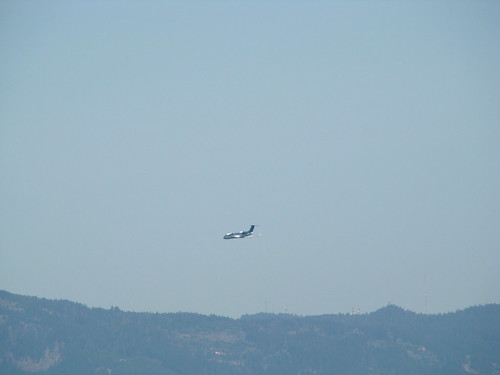
2009-05-01 James Island 043

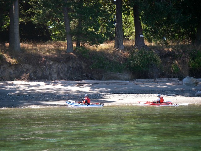
We paddled along side the shore...
2009-05-01 James Island 067
...then began our crossing to James. We were still watching the plane when we saw another object in the sky...
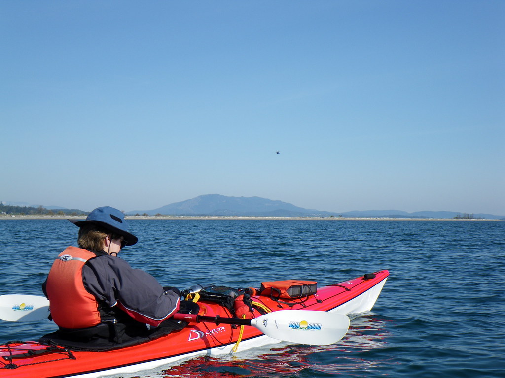
2009-05-01 James Island 058
...and moments later we were overflown by a Canadian Forces helicopter.
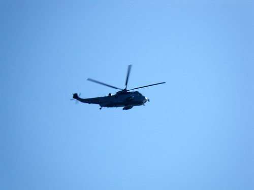
2009-05-01 James Island 060

We made it to James and turned around the sandspit at the far end and headed back.
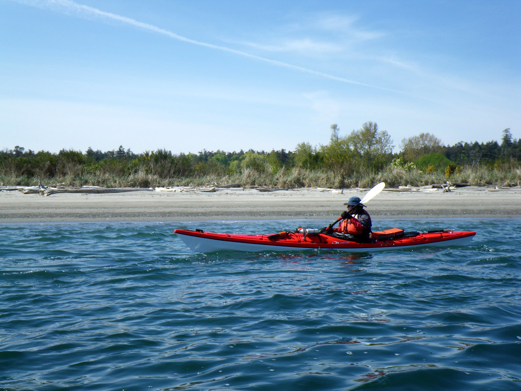
2009-05-01 James Island 080
We put in for a brief rest stop. James Island is now a private luxury resort owned by a former cellular phone magnate. It has its own airstrip and Jack Nicklaus-designed golf course. And, as some kayakers have discovered, an overly zealous security force.
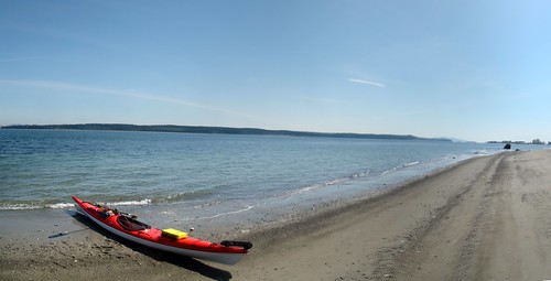
James Island Pano

The plane flew around again and we could finally make out the markings - Nav Canada. Nav Canada is the country's civil air navigation services provider, and provides air traffic control, flight information, weather briefings, aeronautical information services, airport advisory services and electronic aids to navigation. At least, that's what their website says. We later found out that Nav Canada was conducting calibrations of the airport's localizer and glide path instruments. It takes about six hours of flying in at various altitudes and approach angles to ensure that the airport's systems are up to spec.
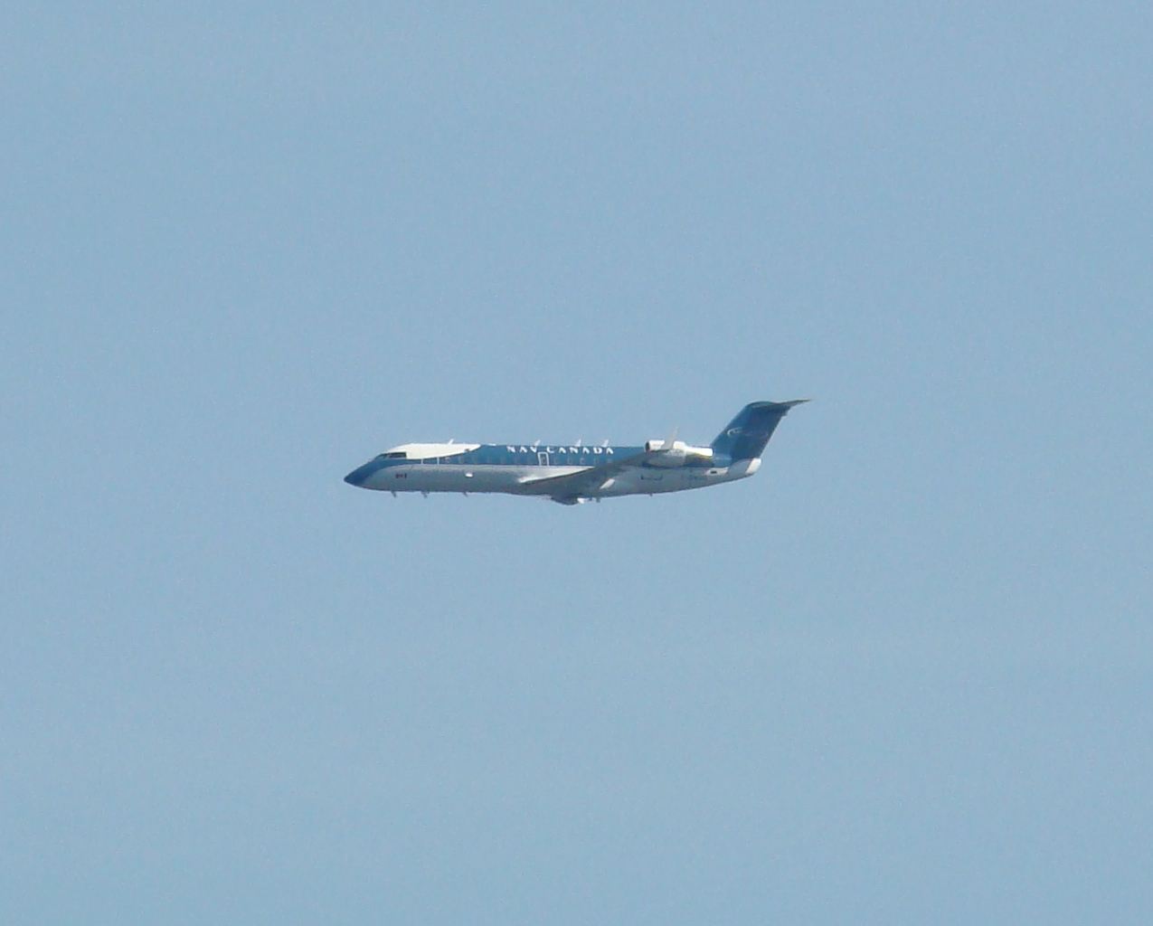
2009-05-01 James Island 038

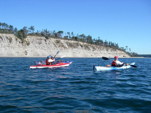
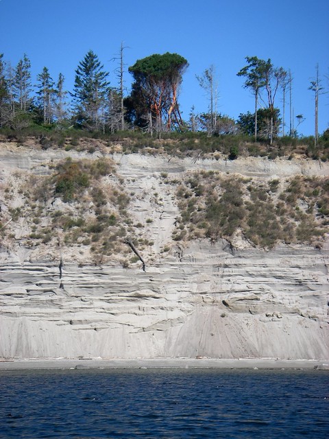
Soon we were at the south end of James, passing under the cliffs.
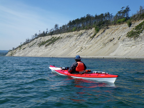
2009-05-01 James Island 087

This was the best I could do for eagle pictures during our lovely paddle.
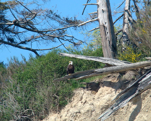
2009-05-01 James Island 044

Trip length: 14.55 km
YTD: 60.29 km
My pictures are here.

Sunday, July 16, 2006

2006.31.46 - James Island Counter-Circumnavigation

A bright, sunny and cloudless day at Island View Beach. With nary a breeze, we decided to set sail, er, paddle for the near side of James Island. From there, we would decide our next move.
IMGP0847

It was the elite group of paddlers today: myself, Paula, Alison and Louise. Marni McBean and Silken Laumann wanted to join us, but frankly, they're just too slow. Below, Louise and Paula set the pace towards James Island...
Crossing the Strait
... and Alison keeps up.
IMGP0891

We reached the south-west corner and decided our next stop would be the south-east corner. The south shore of James Island is really strange, like someone came along with a giant saw and cut the end of it off. This is exactly the sort of thing that a glacier might have done in the last ice age...
James Island
...except that the cut runs roughly east to west, and one might expect glacial cuts to be running roughly north-south. This prompted some lively geological discussion.
IMGP0858

At the next corner, we decided to cross to Sidney Island. From there, we crossed to the next island, then decided to cross to the next island and so on and so forth. And that's how we made it to Japan!
Okay, yes, I'm kidding. But the view was tremendous today. We really felt like we could just go from island to island. Paula was blown away by how far we could see. The Island right behind Paula's head in this picture is Galiano, about halfway to Vancouver...
IMGP0860
... and if you look carefully, you can see Vancouver's North Shore mountains behind Galiano.
IMGP0864

We actually decided to circumnavigate James Island again. And unlike last time, when the tide turned just as we rounded the far end of the island (so that we were always fighting the current), this time the tide turned just as we put in. So yes, the first part of the paddle down the far side would be a tough slog, but once we turned back, it would be pretty easy. That was the theory, anyway. And we went in the opposite direction compared to last time, just to keep it interesting.
So onward ho!
Trying to Keep Up
IMGP0870
IMGP0882

I tried to get a picture of a crab that Alison had spotted, but no luck. Still, the water was very clear.
IMGP0883

We put in...
IMGP0884
...for a stretch...
IMGP0885
...and a rest.
IMGP0886
IMGP0889

Off again!
Onward, ho

We turned at the north tip of the island and crossed back to the mainland. And with the tides and currents with us for a change, it was a welcome break from the hard work of the first leg of the trip.
IMGP0894

As we paddled along, we suddenly heard a roar off our stern. "Holy DELETED EXPLETIVE!" I shouted. "There's a DELETED EXPLETIVE seaplane taking off beside us!"
crop

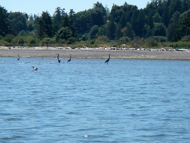
Meanwhile, the herons ignored both the seaplane and my use of colourful metaphors and kept right on eating.
IMGP0903

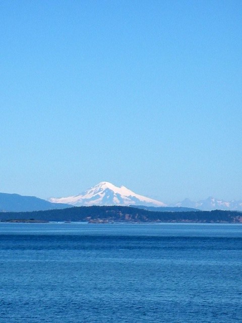
A four-hour paddle and we all survived. What a gorgeous day! And did I mention that Mt. Baker looked spectacular today?
Mount Baker
My pictures are here.
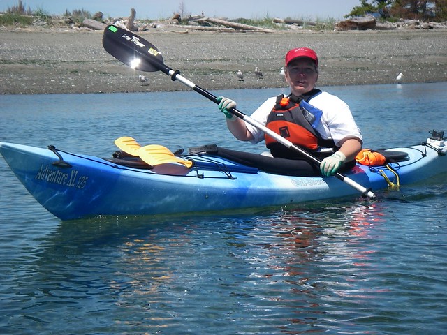
Sunday, May 28, 2006

2006.23.38 - James Island Circumnavigation

Today, we headed out to Island View Beach. South of Sidney, it's a rocky launch point, especially at low tide. And that's what we were facing: an ebbing tide, with a strong breeze forecasted. On arriving, the wind was absent, and we decided on a long paddle.

This was our largest group yet. After a couple of weeks away, Alison came out of hiding to paddle, and Dennis, now recovered from his West Coast trek also came along, joining The Usual Suspects, Paula, Louise, Bernie and myself. Also along for the trip were Louise's friend Tracy and her friend Maureen. We decided on a circumnavigation of James Island.
Our large fleet heads out!
IMGP0380
IMGP0381

Tracy and Maureen took an early lead in their longer and faster boats...
IMGP0387
...but the rest of us kept up (nearly)!
Me First!

Bernie's back was a little sore so he and Dennis decided to go to the south tip of James Island and beach so Bernie could stretch it out. They planned to meet us on the other side of the island, but they ended up having quite an adventure of their own. (But whatever happens on Brokeback Island stays on Brokeback Island.)
IMGP0390

The Obligatory Self-Portrait.
IMGP0388

We continued on to the north. We were going against the tide, hoping that when we went around the island we'd catch a break with the currents coming back.
IMGP0397

We finally reached the northern tip of the island and swung around. (That's a Washington State ferry in the background.)
Turning Point

The north side had some nice sandy beaches and shoreline. What it didn't have was a cooperative current. The tide turned around just as we did. Lucky us. So we spent the return trip also fighting against the current. And the wind came up, too. Yay.
It was turning into the longest paddle ever for some of us. A stretching stop was in order.
IMGP0406

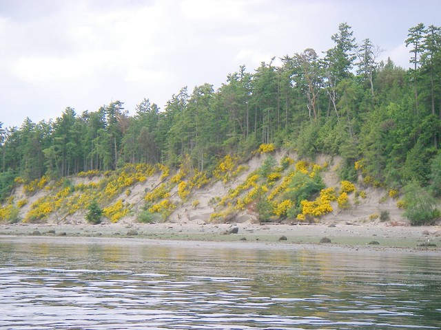
The yellow plant all over this cliff is called broom. It spreads like crazy and chokes up anything else that tries to grow. Broom was imported and is not native to this area. (When I was a kid, my mom used to say the same thing about broom not being native to my bedroom).
IMGP0408

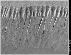
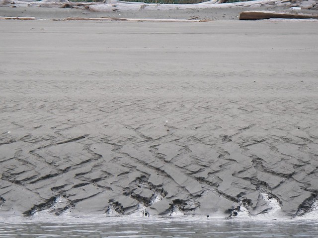
Now's here's something interesting... there's a wonderful but steep beach on the backside of James. You can see the flow patterns that the water running off the beach. These patterns are similar to patterns found on Mars and lead scientists to believe water once flowed over its surface.
Mars:
ig_16_04_mars_water_2
James Island:
IMGP0412

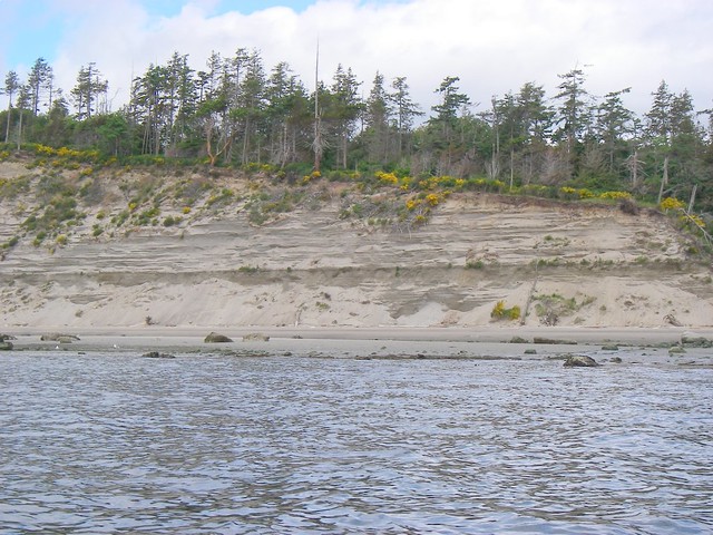
Oh, look! More geology! Check out the layering in this cliff at the south end! (You just thought this was a plain old Kayaking blog, didn't you? You didn't think you'd actually be learning stuff!)
IMGP0419

After a long four hours, the last hour a tough slog against wind and currents, we made it back to shore.
IMGP0424

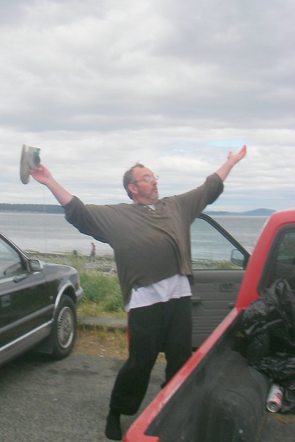
Bernie was especially pleased that I didn't take any pictures of him doing something goofy.
Oh my god! It was THIS FREAKIN' BIG!

My pictures are here.
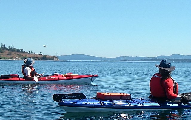
Friday, August 26, 2005

2005.06.06 - James Island

Finally I am equipped with a skirt and it's just Bernie and myself today, and we were going to make a try for James Island.
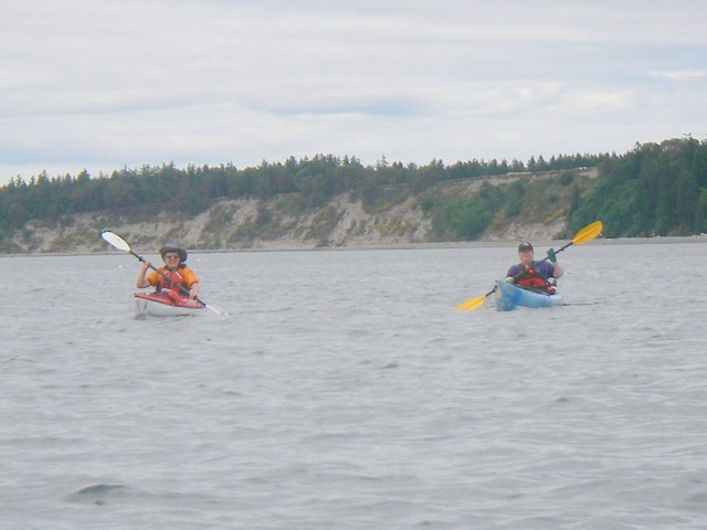
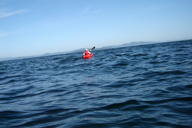
That was the plan anyway, but we found the currents and the wind a little too much for us. You can see that we were in some choppy water.
DSC00863

It was good experience to be out in some water that was rougher than flat, but it seemed that James Island would elude us today.
DSC00868
DSC00875
DSC00876

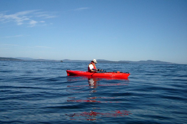
Then suddenly, just as we were going to head back in, the wind died off, and the water calmed.
DSC00872

Did we finally make it to James Island? You betcha!
DSC00881

My photos are here.