Showing posts with label Inner Harbour. Show all posts

Sunday, March 23, 2014

2014.02.255 - Inner Harbour

harbour
The forecast was for fog, not cloud. Fog burns off, cloud not so much sometimes. But not this morning. Cool and cloudy. Despite that, Louise and I headed down to the harbour to kayak from downtown up The Gorge.
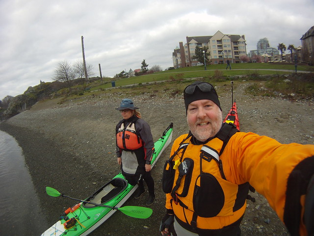
GOPR4149
Louise looks thrilled, don't she?

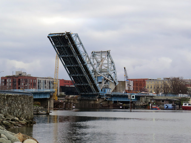
As we were readying to launch, the nearby Johnson Street Bridge went up.
IMG_2056
Venerable old "Big Blue" is being replaced late next year and part of the rail portion of the bridge has already been removed (as we reported here.)
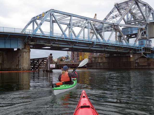
Here on the southern side, construction is not obvious....
IMGP0297
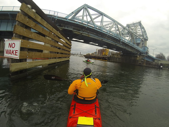
...but once we go under the bridge and look at the north side...
G0030399
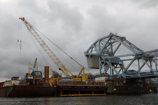
...construction is well under way.
IMGP0315 copy
Not being a bridge construction engineer, I'm not sure what we're looking out, but I'm guessing this is a temporary construction platform that's being used to sink the pilings.

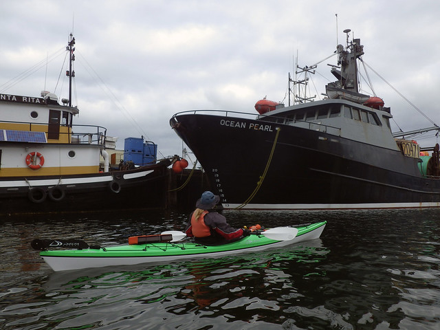
The Inner Harbour is a working harbour. As we paddled past a tied-up fishing boat...
IMGP0299
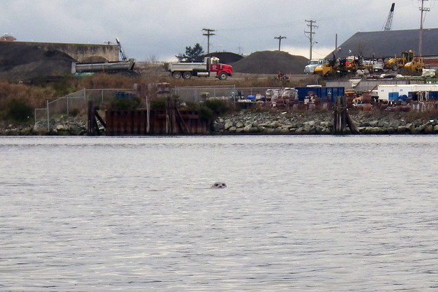
...a pair of eyes studied us carefully.
IMGP0301 copy

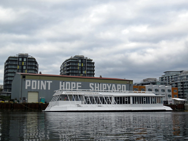
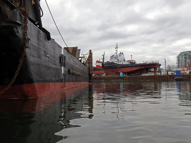
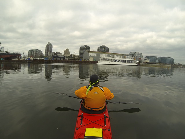
As we paddled by the Point Hope Shipyard....
IMG_2065
....we saw the remains of the Undersea Gardens.
G0030418
IMG_2064
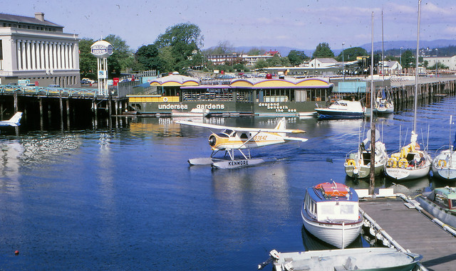
The Undersea Gardens was a long-time tourist attraction in the harbour. It's a 150-foot purpose built vessel where, according to Wikipedia, visitors "....descended 15 feet (4.6 m) beneath the ocean surface to look through the many viewing windows of the aquariums that surrounded the vessel and see the various marine life of coastal British Columbia, in their natural and protected environment." It was originally opened at the Oak Bay Marina in 1964, then it was towed to the Inner Harbour in 1969.
My dad took the picture below in 1971, showing the Undersea Gardens in its prime. I love that sign!
1971 Inner Harbour Victoria
The Gardens closed late last year and was towed here where it waits to be scrapped or sold.

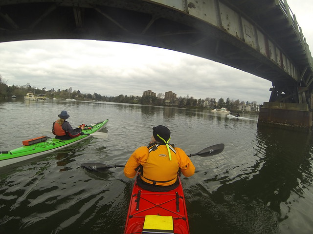
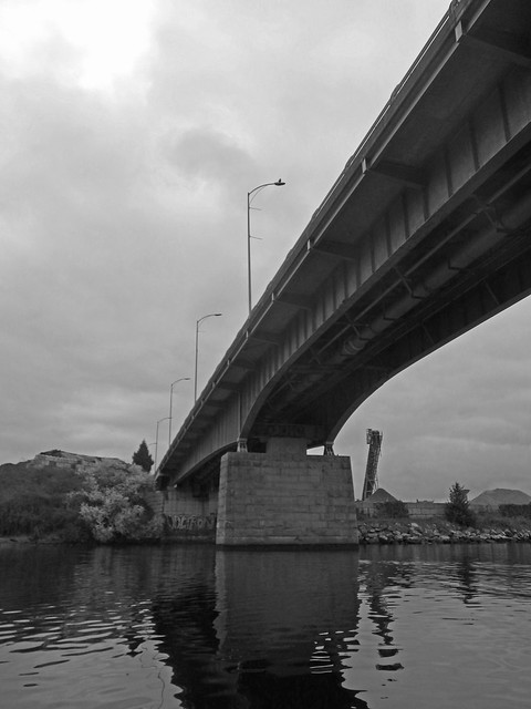
Under the Bay Street Bridge...
IMGP0305 copy
...then under the Selkirk Bridge...
G0030447
...and we were paddling up The Gorge.

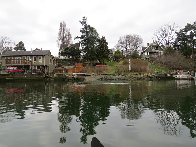
Suddenly to the left, a splash!
IMG_2066
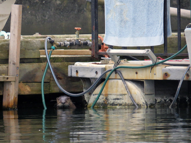
The culprit? An otter, that sought cover under a dock after being surprised by a pair of kayakers on his morning swim.
IMG_2070

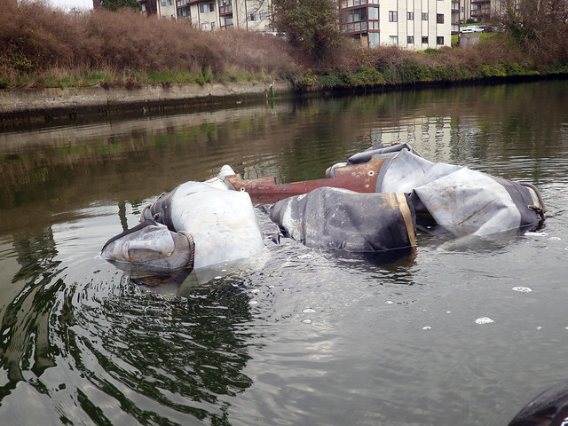
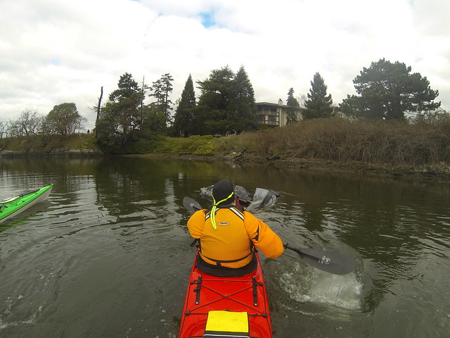
We spotted something in the water ahead of us.
G0030493
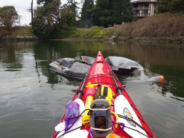
Anybody want a slightly used Zodiac?
IMGP0310
I did my best to push onto the shore. Hopefully someone will come and collect it.
IMGP0311

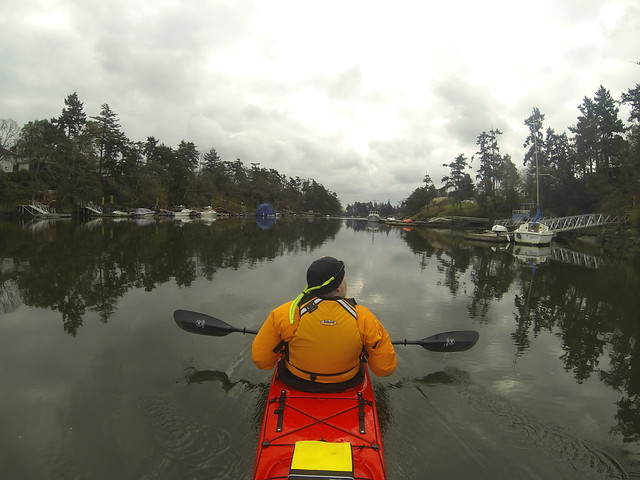
After that, it was time to head back.
G0030531
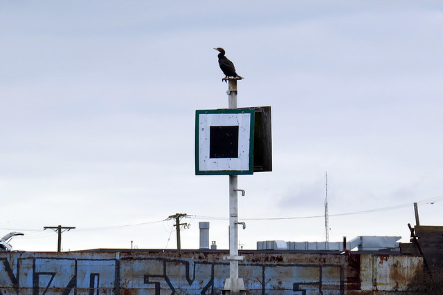
The cormorant pointed the way.
IMG_2071 copy

Trip length: 6.66 km
YTD: 12.71 km
More pictures are here.
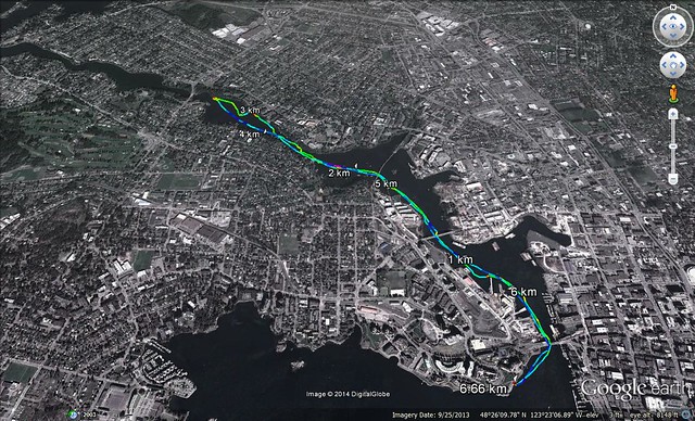
2014-03-23 Inner Harbour

Friday, April 6, 2012

2012.04.229 - Johnson Street Bridge Deathwatch

I'm starting to think that maybe, just maybe, Spring may might be here. Or perhaps I should say that instead of the Spring we had last year that lasted until October, perhaps this year we're having a Spring that may actually at some point soon morph into Summer.
IMG_0603

This morning Louise and I headed downtown for a paddle through the Inner Harbour and up the lower Gorge. After all, any Friday in a kayak is a good Friday.
IMG_0606

After putting on the beach at the Songhees, pretty much the first thing you see is the Johnson Street Bridge which, as sharp-eyed readers may note, as undergone some modification since the last time we paddled here. The venerable old Blue Bridge, built in 1924, is slowly being torn down so that its replacement can be built. The rail portion of the bridge has already been removed.
IMG_0607

Past the bridge a cormorant watched over us....
IMG_0618

...and then we saw the rail portion of the bridge, high and dry and ready to be disassembled for scrap.
IMG_0612

We passed under the Bay Street Bridge....
IMGP0175
...and while we're talking about historical bridges, the original bridge on this site, the Port Ellice bridge collapsed in 1896 when an overloaded street car broke through and crashed into the waters beneath.The street car was made to hold only 60 people, yet contained 153 when it hit the water. 55 people died in what is still to this day the worst street car accident in North American history.


GOPR2765
And on that happy note, we continued up the Gorge, then returned, but as we approached the Blue Bridge a second time....
IMG_0629
...we saw the car ferry MV Coho preparing the leave the harbour. The ferry leaves the dock and backs down the harbour towards the bridge until it has enough room to swing itself around and transit out the harbour entrance. It's a heck of a manoeuvre, says the man who can barely parallel park his car, and we enjoyed watching it, although it's a bit disconcerting watching something that big with propellers coming towards you. :)
GOPR2852

Trip Length: 6.67 km
YTD: 31.86 km
More pictures are here.
2012-04-06
Project1

Sunday, June 12, 2011

2011.13.211 - Inner Harbour

Project1
This morning, Louise and I met Paula for a paddle down in the Inner Harbour. We hadn't paddled here in a while, but if you don't use it, you'll lose it to developers who think it's their universe-given right to exploit public land to make a profit for themselves to the detriment of the people who actually live here. But I digress.

We put in on the western side of the harbour on a little beach in what is known as the Songhees area of town, but 150 years ago this was the hub of the Songhees nation.
IMG_3081
Two modern totems watched us as we prepared to launch.

Louise was very excited to practice the skills she learned at last week's tidal currents course. but the only skill she could remember was "the helicopter."
IMGP0903
Her father was a helicopter pilot. Like father, like daughter.

We start by passing under the Johnson Street Bridge, also known as The Blue Bridge, or Big Blue in these parts.
IMGP0906
Enjoy this view while you can, folks. The old bridge had seen better days, and it will be replaced over the next couple of years. In fact, demolition of the rail side of the bridge will begin in the fall.
Under the bridge...
IMGP0907
...and past the industrial working harbour...
IMGP0908
IMG_3087 copy
...and suddenly we're into modern urban housing and retail.
IMGP0911

This heron is enjoying a late Sunday brunch.
IMG_3097 copy
IMG_3098 copy

Clearly someone has an opinion on the Stanley Cup finals.
IMGP0913
Trip Length: 7.23 km
YTD: 103.74 km
More pictures are here.
2011-06-12 Inner Harbour

Sunday, January 18, 2009

2009.01.132 - Inner Harbour

Now this is the way it's supposed to be. The rest of the country is freezing, but here on the We(s)t Coast, the sun is shining brightly on this warm January morning. Okay, so it didn't start warm -- it was bitterly cold to start the morning and my fingers nearly froze off loading up the kayaks, but by the time we got to our launching point on the Harbour, the day had warmed up quite nicely under the bright sun.
2009-01-18 Inner Harbout-The Gorge 178

It was just the three of us today: Louise, Paula and myself. The Harbour was unexpectedly blustery, but certainly nothing that we couldn't handle. It felt good to finally be back on the water after a long lay-off over Christmas.
2009-01-18 Inner Harbout-The Gorge 181

Today I mounted my deck cam at the stern facing forward. I ended up with 129 pictures of a bright orange PFD.
2009-01-18 Inner Harbout-The Gorge 066

This part of the harbour is still a working harbour. We passed by tied-up fishing boats and shipyards....
2009-01-18 Inner Harbout-The Gorge 182

...and we passed this poor ship that got caught when the tide went out.
2009-01-18 Inner Harbout-The Gorge 188

And we also paddled past a large number of cormorants who, like this fellow, were enjoying this lovely winter morning.
2009-01-18 Inner Harbout-The Gorge 001

We moved out of the Harbour and into the Gorge waterway...
2009-01-18 Inner Harbout-The Gorge 194

...where we weren't the only ones along the shore.
2009-01-18 Inner Harbout-The Gorge 018

This heron grew a beard over the winter just like me.
2009-01-18 Inner Harbout-The Gorge 035

We got to Tillicum Bridge, where we turned around.
2009-01-18 Inner Harbout-The Gorge 201

Of course after turning around, we were paddling back into the low and glaring sun.
2009-01-18 Inner Harbout-The Gorge 139

The wind was still up, but it was really a great day for a paddle.
2009-01-18 Inner Harbout-The Gorge 218

HarbourGorge

Trip Length: 6.83 km
My pictures are here.
The Google Earth kmz is here.

Here's some bonus pictures. After a nice nosh at Estevan Village, we drove Paula home via Cattle Point where we saw this sailboat out on the water...
2009-01-18 Inner Harbout-The Gorge 053
..and Mount Baker looking splendifourous.
2009-01-18 Inner Harbout-The Gorge 043